
FAQs
- Opportunities for reuse/redevelopment of properties.
- Disinvestment in buildings. Consider incentives to potential investors and current owners in the corridor to start/expand businesses and improve buildings
- Upgrade of infrastructure to address safety issues and community connections
- Transportation improvements needed, particularly to facilitate reuse/redevelopment of key properties
- How to take advantage of growth opportunities from changing demographics and markets favoring urban, walkable communities.
- Target locations and objectives for development, land use, community character, and design that will guide future revisions to the zoning ordinance.
How can I get involved?
The subarea planning process relies heavily on public input to create the vision for the site. Public engagement will include a variety of in-person and virtual events. Register and subscribe on What’s Up Wheat Ridge and Mayor's Matters to stay informed. Refer to the Public Process Timeline on this page to see what events are upcoming.
Why should I get involved?
We often see the public speaking up during zone changes or site planning, but by that point, approvals are based on their compliance with an adopted plan. That’s why it’s important that you be involved in the creation of the adopted plan. This chart shows how the subarea plan relates to development approvals, and why it’s important to get involved now.
What is a subarea plan?
A subarea plan is a long-range planning document that articulates a vision for a specific area. Unlike the City's Comprehensive Plan which outlines a vision for the entire City, a subarea plan describes more specific goals for the land use, design and transportation for a specific area. A subarea plan is sometimes called a master plan, small area plan, or station area plan.
Refer to the process information handout which explains how a subarea plan fits into the processes of planning and development and how it relates to the more general comprehensive plan and more specific development approvals.
Change will not happen tomorrow – this is a twenty-year plan that will be delivered over a long period of time—and your voice is important to this process.
Why do we need a subarea plan?
While portions of W. 44th Avenue were included in the Fruitdale Subarea Plan, the plan is outdated and does not take into consideration the market conditions of today. The recently completed Neighborhood Revitalization Strategy identified W. 44th Avenue as a priority for planning efforts. City officials recognize the need to develop a plan containing strategies to promote revitalization and attract investment to the W. 44th Avenue corridor that would enhance the adjacent neighborhoods and the City as a whole. There are significant opportunities for redevelopment and reinvestment, while maintaining the unique character of W. 44th Avenue. The plan will deliver a series of strategic initiatives and projects within the plan to assist implementation.
The plan will take into consideration the City’s priority needs, concerns, and opportunities along W. 44th Avenue, including:
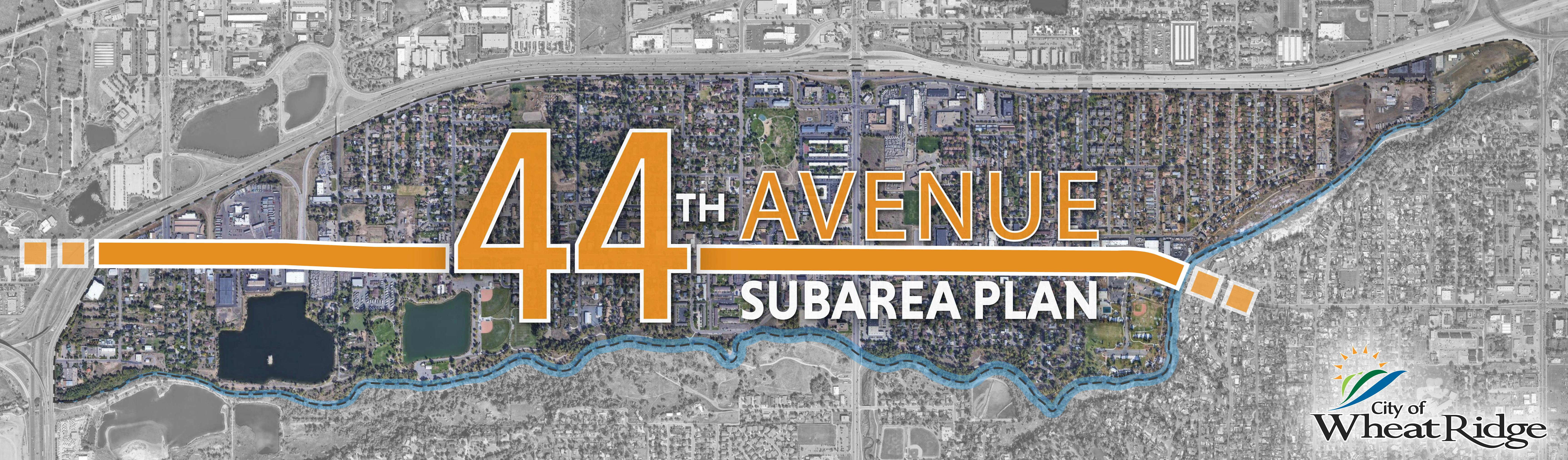
What are the boundaries of this plan?
The plan will focus on W. 44th Avenue, and the project area will include the portion of the City between Clear Creek and I-70. The boundaries of this plan were chosen to align closely with the Fruitdale Subarea Plan, but extend out to Clear Creek as a natural boundary. Further east are established neighborhoods where change is not anticipated, and the Wadsworth Improvement Project has already addressed the commercial corridor.
How am I affected by this plan?
The subarea plan will identify a land use strategy that is more in line with today's market conditions. The plan will not change the zoning or site in the near term, but the plan is intended as an overall guide for future development.
If your property or business falls within the planning area boundaries or if you use the corridor for travel, business, or leisure, please be sure to get involved.
Will zoning change?
No. A subarea plan is a vision document that helps guide future entitlements. While it does set the stage for development, it does not address specifics of exactly what can be developed. Zoning and site development/redevelopment would come later, as property owners decide to take an active approach to move forward with the direction detailed in the plan direction. The plan will help us to establish action items to help incentivize and realize goals of the plan. All will be subject to future public processes.
How are we addressing traffic on W. 44th? Will this plan include changes to the street section?
A broader rethinking of transportation and circulation may be appropriate through this planning process.
Generally, traffic along W. 44th Avenue will be guided by a Traffic Analysis that is included in the subarea plan scope. In relation to streetscape, there are no curb-to-curb changes expected along the corridor. Sidewalks, curbs, pavement, and lighting in the public right of way are in fairly good condition. The City has taken some important steps, such as updating the Streetscape Design Manual to require trees along the street behind curb. The City anticipates recommendations of the plan to be geared towards enhancing the pedestrian environment, improving traffic movements, and increasing connectivity.
What's happening with the Clear Creek floodplain?
The City is undergoing a floodplain map update to Clear Creek to reflect lower regulatory flows. The revised maps are currently being reviewed by the State and then will be forwarded to FEMA for review and approval. This process will take about 1 ½ years to complete. The good news is that several properties will no longer be in the mapped floodplain which could encourage reinvestment.
For more information, visit the remapping project website is at: Clear Creek FHAD Study (iconeng.com)